Alberta
83 new cases of COVID-19 diagnosed in Central Alberta


Images from the Province of Alberta
With 92 active cases and 83 diagnosed in just the last week (July 10-16), the Central Alberta Region has seen a significant increase in COVID-19 numbers in mid July. Since the pandemic began, 187 Central Albertans have been diagnosed.
In Central Alberta the County of Settler has seen the largest increase. Here’s a list

Central Alberta Communities – Active Cases
- Settler County – 12
- Drumheller – 9
- Red Deer – 8
- Ponoka County – 7
- Kneehill County – 7
- Red Deer County – 5
- Lacombe County – 5
- Paintearth County – 5
- City of Camrose – 4
- Camrose County – 4
- Beaver County – 4
- Two Hills County – 4
- Mountain View County – 3
- Ponoka County – 3
- MD of Wainwright – 2
- Flagstaff County – 2
- Minburn County – 2
- Town of Olds – 1
- Vermillion River County – 1
- Special Areas 4 – 1
- Brazeau County – 1
The new positive cases are affecting younger people than previously. The 20 to 30 and the 30 to 40 age groups are by far the most affected in mid July.


From LifeSiteNews
‘I think the court was in error,’ Alberta Premier Danielle Smith has said. ‘There will be irreparable harm to children who get sterilized.’
LGBT activists have won an injunction that prevents the Alberta government from restricting “gender transitions” for children.
On June 27, Alberta King’s Court Justice Allison Kuntz granted a temporary injunction against legislation that prohibited minors under the age of 16 from undergoing irreversible sex-change surgeries or taking puberty blockers.
“The evidence shows that singling out health care for gender diverse youth and making it subject to government control will cause irreparable harm to gender diverse youth by reinforcing the discrimination and prejudice that they are already subjected to,” Kuntz claimed in her judgment.
Kuntz further said that the legislation poses serious Charter issues which need to be worked through in court before the legislation could be enforced. Court dates for the arguments have yet to be set.
READ: Support for traditional family values surges in Alberta
Alberta’s new legislation, which was passed in December, amends the Health Act to “prohibit regulated health professionals from performing sex reassignment surgeries on minors.”
The legislation would also ban the “use of puberty blockers and hormone therapies for the treatment of gender dysphoria or gender incongruence” to kids 15 years of age and under “except for those who have already commenced treatment and would allow for minors aged 16 and 17 to choose to commence puberty blockers and hormone therapies for gender reassignment and affirmation purposes with parental, physician and psychologist approval.”
Just days after the legislation was passed, an LGBT activist group called Egale Canada, along with many other LGBT organizations, filed an injunction to block the bill.
In her ruling, Kuntz argued that Alberta’s legislation “will signal that there is something wrong with or suspect about having a gender identity that is different than the sex you were assigned at birth.”
She further claimed that preventing minors from making life-altering decisions could inflict emotional damage.
However, the province of Alberta argued that these damages are speculative and the process of gender-transitioning children is not supported by scientific evidence.
“I think the court was in error,” Alberta Premier Danielle Smith said on her Saturday radio show. “That’s part of the reason why we’re taking it to court. The court had said there will be irreparable harm if the law goes ahead. I feel the reverse. I feel there will be irreparable harm to children who get sterilized at the age of 10 years old – and so we want those kids to have their day in court.”
READ: Canadian doctors claim ‘Charter right’ to mutilate gender-confused children in Alberta
Overwhelming evidence shows that persons who undergo so-called “gender transitioning” procedures are more likely to commit suicide than those who are not given such irreversible surgeries. In addition to catering to a false reality that one’s sex can be changed, trans surgeries and drugs have been linked to permanent physical and psychological damage, including cardiovascular diseases, loss of bone density, cancer, strokes and blood clots, and infertility.
Meanwhile, a recent study on the side effects of “sex change” surgeries discovered that 81 percent of those who have undergone them in the past five years reported experiencing pain simply from normal movements in the weeks and months that followed, among many other negative side effects.
![]()
By Mark Milke
It is a mistake to dismiss the movement as too small
In light of the poor showing by separatist candidates in recent Alberta byelections, pundits and politicians will be tempted to again dismiss threats of western separatism as over-hyped, and too tiny to be taken seriously, just as they did before and after the April 28 federal election.
Much of the initial skepticism came after former Leader of the Opposition Preston Manning authored a column arguing that some in central Canada never see western populism coming. He cited separatist sympathies as the newest example.
In response, (non-central Canadian!) Jamie Sarkonak argued that, based upon Alberta’s landlocked reality and poll numbers (37 per cent Alberta support for the “idea” of separation with 25 per cent when asked if a referendum were held “today”), western separation was a “fantasy” that “shouldn’t be taken seriously.” The Globe and Mail’s Andrew Coyne, noting similar polling, opined that “Mr. Manning does not offer much evidence for his thesis that ‘support for Western secession is growing.’”
Prime Minister Mark Carney labelled Manning’s column “dramatic.” Toronto Star columnist David Olive was condescending. Alberta is “giving me a headache,” he wrote. He argued the federal government’s financing of “a $34.2-billion expansion of the Trans Mountain pipeline (TMX)” as a reason Albertans should be grateful. If not, wrote Olive, perhaps it was time for Albertans to “wave goodbye” to Canada.
As a non-separatist, born-and-bred British Columbian, who has also spent a considerable part of his life in Alberta, I can offer this advice: Downplaying western frustrations — and the poll numbers — is a mistake.
One reason is because support for western separation in at least two provinces, Alberta and Saskatchewan, is nearing where separatist sentiment was in Quebec in the 1970s.
In our new study comparing recent poll numbers from four firms (Angus Reid Institute, Innovative Research Group, Leger, and Mainstreet Research), the range of support in recent months for separation from Canada in some fashion is as follows, from low to high: Manitoba (6 per cent to 12 per cent); B.C. (nine per cent to 20 per cent); Saskatchewan (20 per cent to 33 per cent) and Alberta (18 per cent to 36.5 per cent). Quebec support for separation was in a narrow band between 27 per cent and 30 per cent.
What such polling shows is that, at least at the high end, support for separating from Canada is now higher in Saskatchewan and Alberta than in Quebec.
Another, even more revealing comparison is how western separatist sentiment now is nearing actual Quebec votes for separatism or separatist parties back five decades ago. The separatist Parti Québécois won the 1976 Quebec election with just over 41 per cent of the vote. In the 1980 Quebec referendum on separation, “only” 40 per cent voted for sovereignty association with Canada (a form of separation, loosely defined). Those percentages were eclipsed by 1995, when separation/sovereignty association side came much closer to winning with 49.4 per cent of the vote.
Given that current western support for separation clocks in at as much as 33 per cent in Saskatchewan and 36.5 per cent in Alberta, it begs this question: What if the high-end polling numbers for western separatism are a floor and not a ceiling for potential separatist sentiment?
One reason why western support for separation may yet spike is because of the Quebec separatist dynamic itself and its impact on attitudes in other parts of Canada. It is instructive to recall in 1992 that British Columbians opposed a package of constitutional amendments, the Charlottetown Accord, in a referendum, in greater proportion (68.3 per cent) than did Albertans (60.2 per cent) or Quebecers (56.7 per cent).
Much of B.C.’s opposition (much like in other provinces) was driven by proposals for special status for Quebec. It’s exactly why I voted against that accord.
Today, with Prime Minister Carney promising a virtual veto to any province over pipelines — and with Quebec politicians already saying “non” — separatist support on the Prairies may become further inflamed. And I can almost guarantee that any whiff of new favours for Quebec will likely drive anti-Ottawa and perhaps pro-separatist sentiment in British Columbia.
There is one other difference between historic Quebec separatist sentiment and what exists now in a province like Alberta: Alberta is wealthy and a “have” province while Quebec is relatively poor and a have-not. Some Albertans will be tempted to vote for separation because they feel the province could leave and be even more prosperous; Quebec separatist voters have to ask who would pay their bills.
This dynamic again became obvious, pre-election, when I talked with one Alberta CEO who said that five years ago, separatist talk was all fringe. In contrast, he recounted how at a recent dinner with 20 CEOs, 18 were now willing to vote for separation. They were more than frustrated with how the federal government had been chasing away energy investment and killing projects since 2015, and had long memories that dated back to the National Energy Program.
(For the record, they view the federal purchase of TMX as a defensive move in response to its original owner, Kinder Morgan, who was about to kill the project because of federal and B.C. opposition. They also remember all the other pipelines opposed/killed by the Justin Trudeau government.)
Should Canadians outside the West dismiss western separatist sentiment? You could do that. But it’s akin to the famous Clint Eastwood question: Do you feel lucky?
Mark Milke is president and founder of the Aristotle Foundation for Public Policy and co-author, along with Ven Venkatachalam, of Separatist Sentiment: Polling comparisons in the West and Quebec.


What Connor Should Say To Oilers: It’s Not You. It’s Me.
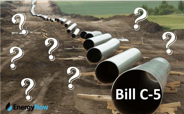
The Passage of Bill C-5 Leaves the Conventional Energy Sector With as Many Questions as Answers
Ontario man launches new challenge against province’s latest attempt to ban free expression on roadside billboards
Federal fiscal anchor gives appearance of prudence, fails to back it up
-
COVID-198 hours ago
Ontario man launches new challenge against province’s latest attempt to ban free expression on roadside billboards
-
 Business1 day ago
While China Hacks Canada, B.C. Sends Them a Billion-Dollar Ship Building Contract
-
 Energy16 hours ago
This Canada Day, Celebrate Energy Renewal
-
 Alberta1 day ago
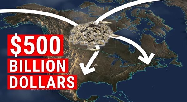
So Alberta, what’s next?
-
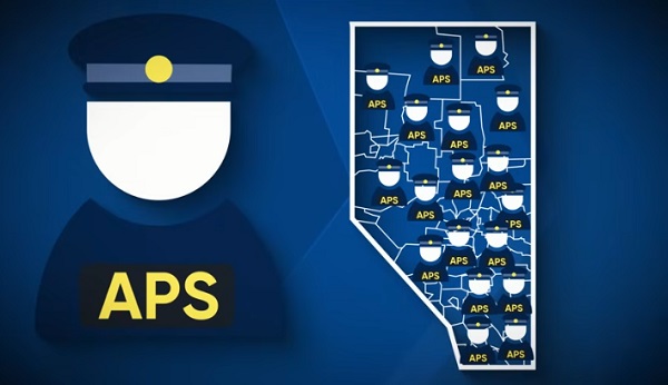 Alberta7 hours ago
Alberta Next Takes A Look At Alberta Provincial Police Force
-
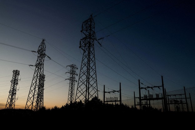 Bjorn Lomborg1 day ago
The Physics Behind The Spanish Blackout
-
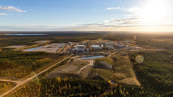 Alberta9 hours ago
Canadian Oil Sands Production Expected to Reach All-time Highs this Year Despite Lower Oil Prices
-
 International10 hours ago
President Xi Skips Key Summit, Adding Fuel to Ebbing Power Theories